Where should you stay on the Cabot Trail?
The best places to stay on Nova Scotia's Cabot Trail are Chéticamp, Ingonish, and Baddeck. For most travellers, the best approach is to stay in two...
This question has been asked countless times and depending on who you ask, there are countless answers.
But that really doesn’t help someone who is looking for hidden gems, photo spots, top hiking trails, and more while planning their trip around the Cabot Trail… and it also doesn’t answer other frequently asked questions, such as:
Which way is the best way to get to the Cabot Trail? What are the “don’t miss” and recommended stops, attractions, places to eat, etc. along the Cabot Trail?
You’ve asked us… so WE’VE asked fellow Nova Scotians what their top recommendations are for someone looking to experience the best of Cape Breton Island’s famous Cabot Trail. We’ve also compiled a list of “Frequently Asked Questions” in addition to our suggestions to help you plan your trip around the Cabot Trail.
–
“… as clockwise makes the climbs easier. Also, driving counter-clockwise can be a bit daunting for those that are scared of heights… but perhaps easier on the driver if they are the one who doesn’t like heights!”
–
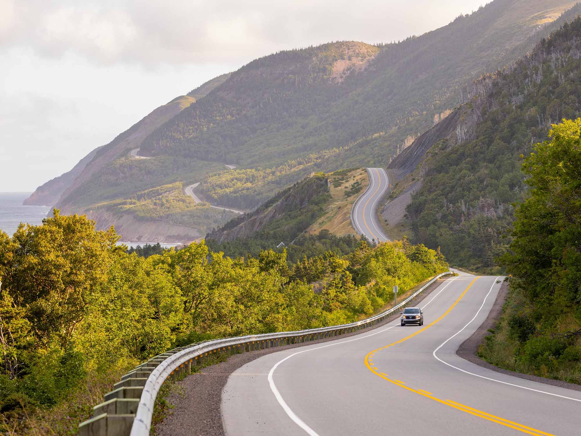
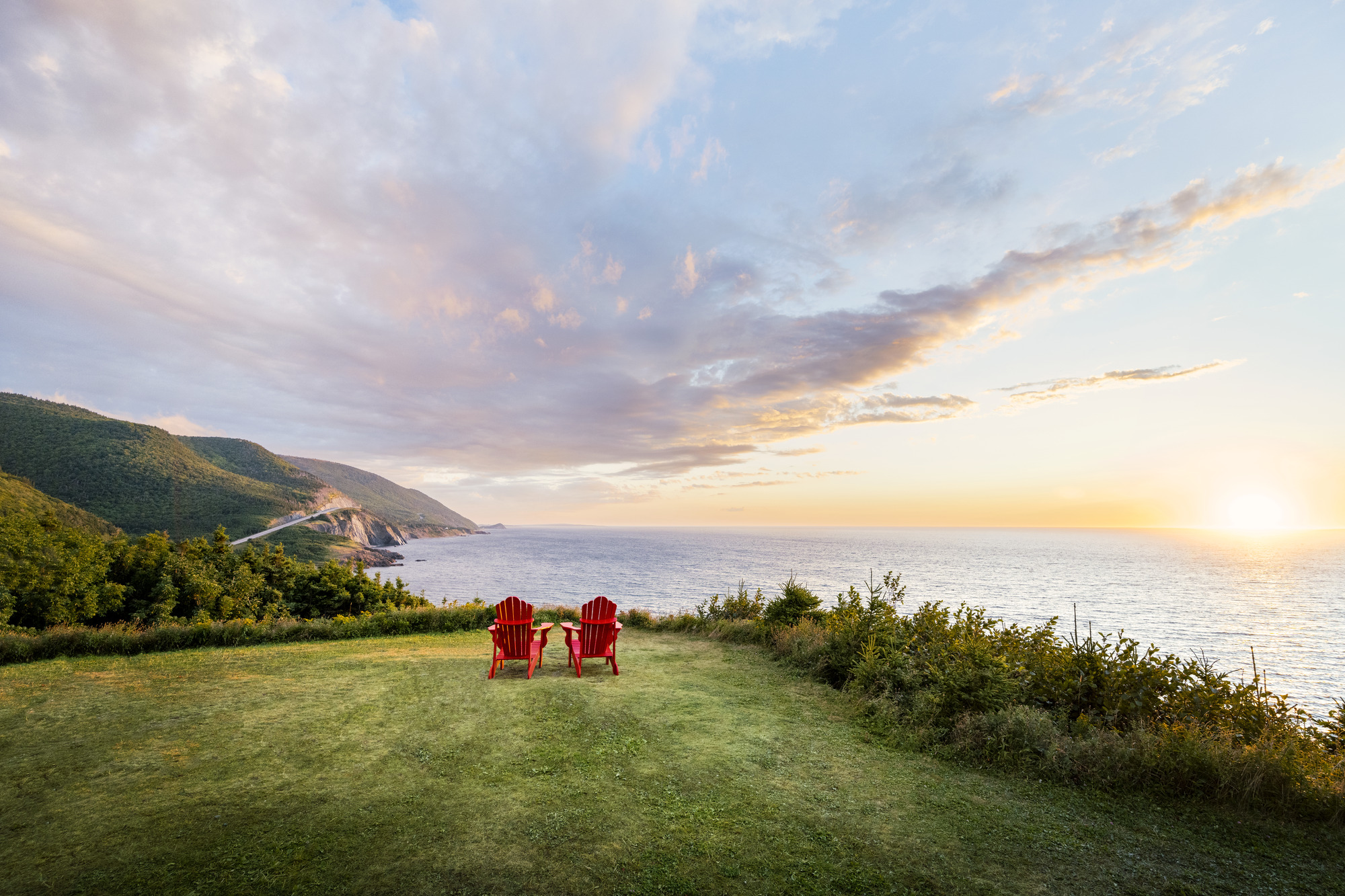
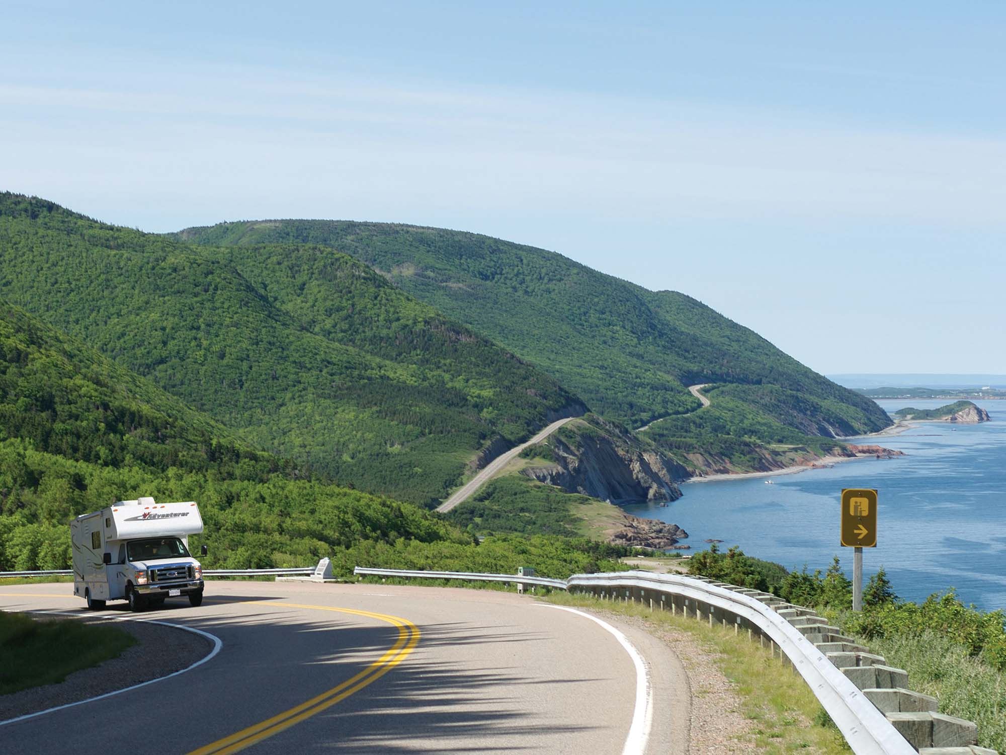
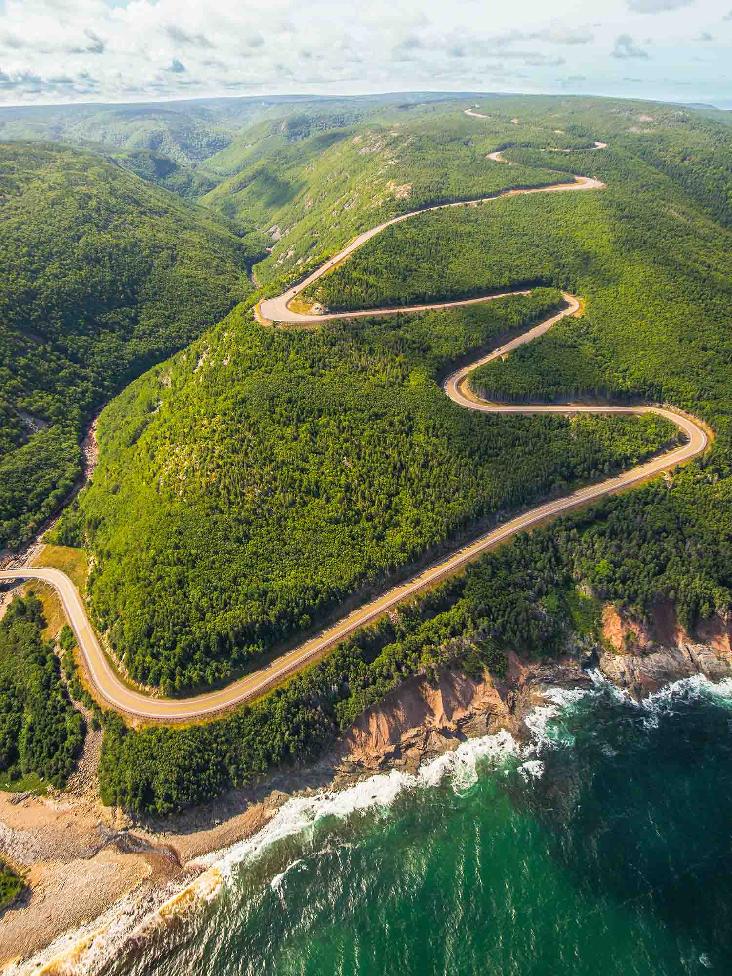
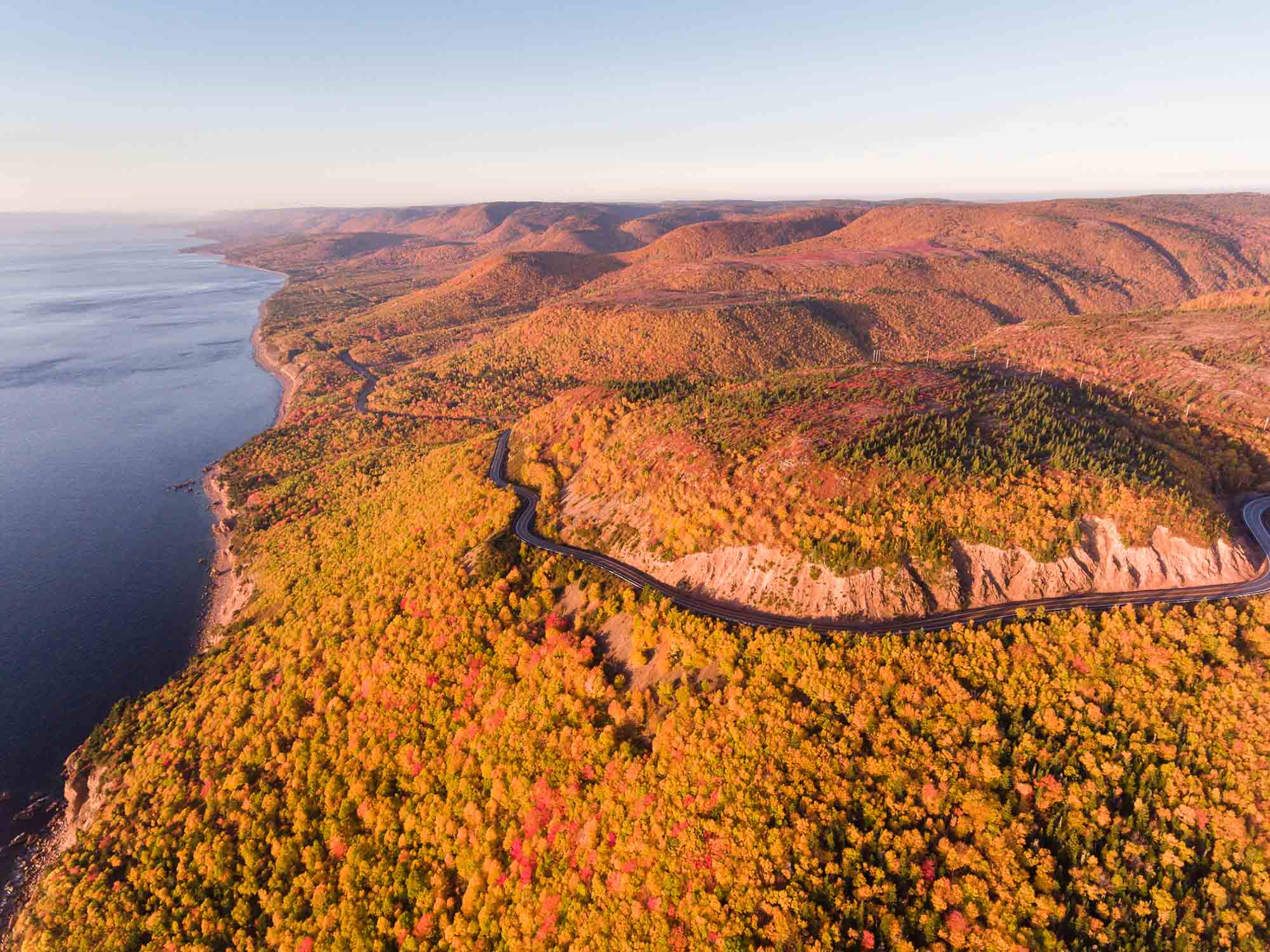
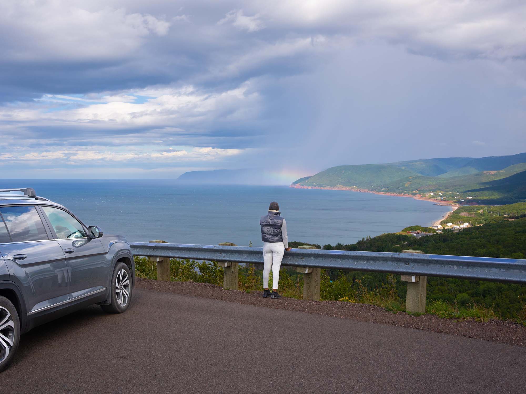
“I love driving clockwise for the beautiful views – some of my favourites being between Margaree and the National Park entrance just past Chéticamp. The views from a few look-offs – especially the pull-off with the view that overlooks Pleasant Bay – are breathtaking! I love driving DOWN Cape Smokey too – hang on tight, take your time, and enjoy the ride.”
–
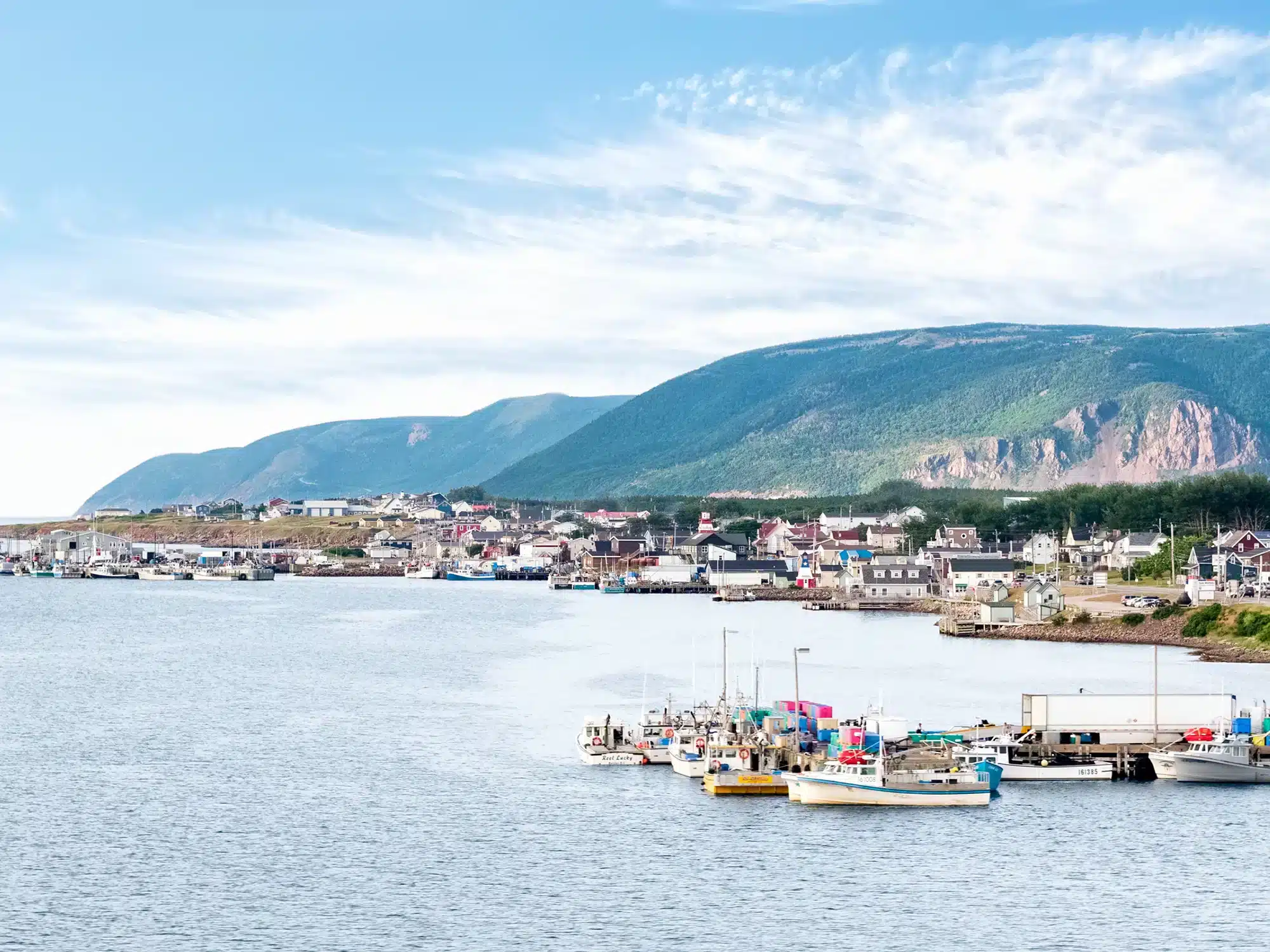
“… enjoy walking/hiking trails, views from the look-offs, and the numerous coastal villages along the route. The direction the traveler takes around the Cabot Trail may depend on what they plan to see prior to their trip – such as experiencing the Acadian charm and culture of Chéticamp or the Scottish roots and traditions in Cape Breton which would lead to a visit at the St. Ann’s Gaelic College near Baddeck.”

–
“… from the Canso Causeway at the entrance to Cape Breton Island. This way, you will follow the coastline all the way to/from Margaree Forks (where Route 19 meets the Cabot Trail), passing through some picture perfect communities like Port Hood, Mabou, and Inverness with attractions such as Cabot Links and Cabot Cliffs golf courses, Glenora Distillery, The Red Shoe Pub, Celtic Music Interpretive Centre, beautiful beaches, and sunsets over the ocean.”
–
“… some may prefer this direction too as it gives the feeling that you are hugging the mountains more, possibly making it a bit less intimidating.”

–
“… it gives passengers a thrilling ride. As the driver, I love going up and down Cape Smokey Mountain near Ingonish!”
–
“… seeing the view overlooking Ingonish on the way down the other side… and I love the views as you come around the west side of Cape Breton as you get closer to Chéticamp. You also have easy access to most pull-offs / look-offs in the Cape Breton Highlands National Park by going counter-clockwise as many are to your right, between the road and ocean.”
–
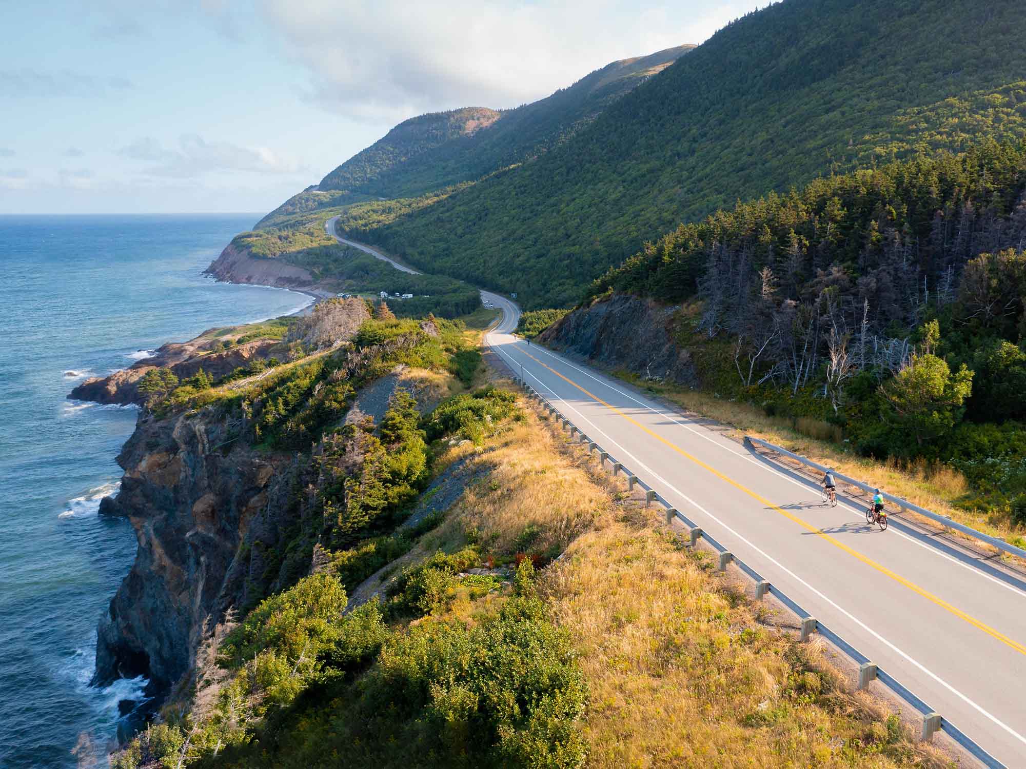
“Cyclists planning to bike the Cabot Trail can book with Freewheeling Adventures for guided and self-guided packages and itineraries.”
–
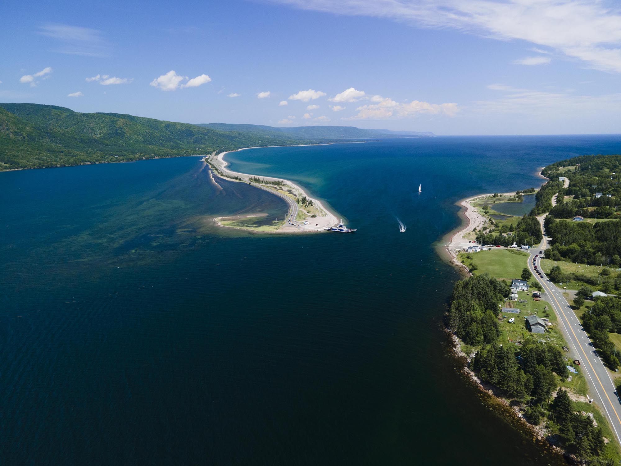
“… that you drive along the coast in Cape Breton getting to/from the Cabot Trail as much as possible. This could include driving along the Bras d’Or Lake to get to Baddeck for a clockwise or counter-clockwise Cabot Trail adventure or – my favourite – taking Route 19 (Ceilidh Trail) all the way up the west coast to enter the Cabot Trail in Margaree Forks for a clockwise trip. Oh – and I love taking the Englishtown Ferry for the views of the mountains, too!
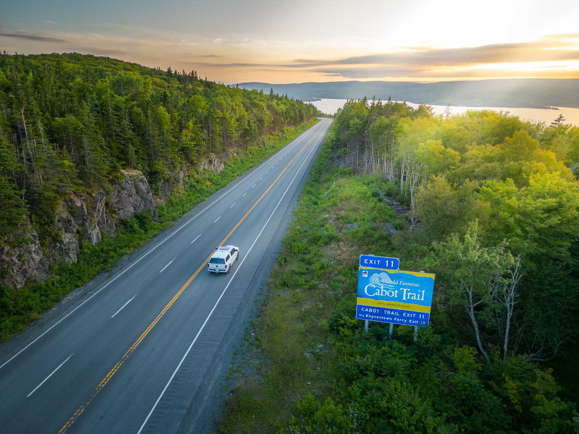
Depending on where you are arriving from – mainland Nova Scotia or elsewhere on Cape Breton Island – and if you plan to go clockwise or counter-clockwise, you have a number of options of where you can hop on the Cabot Trail. Here are four most commonly used entrances to access the Cabot Trail:
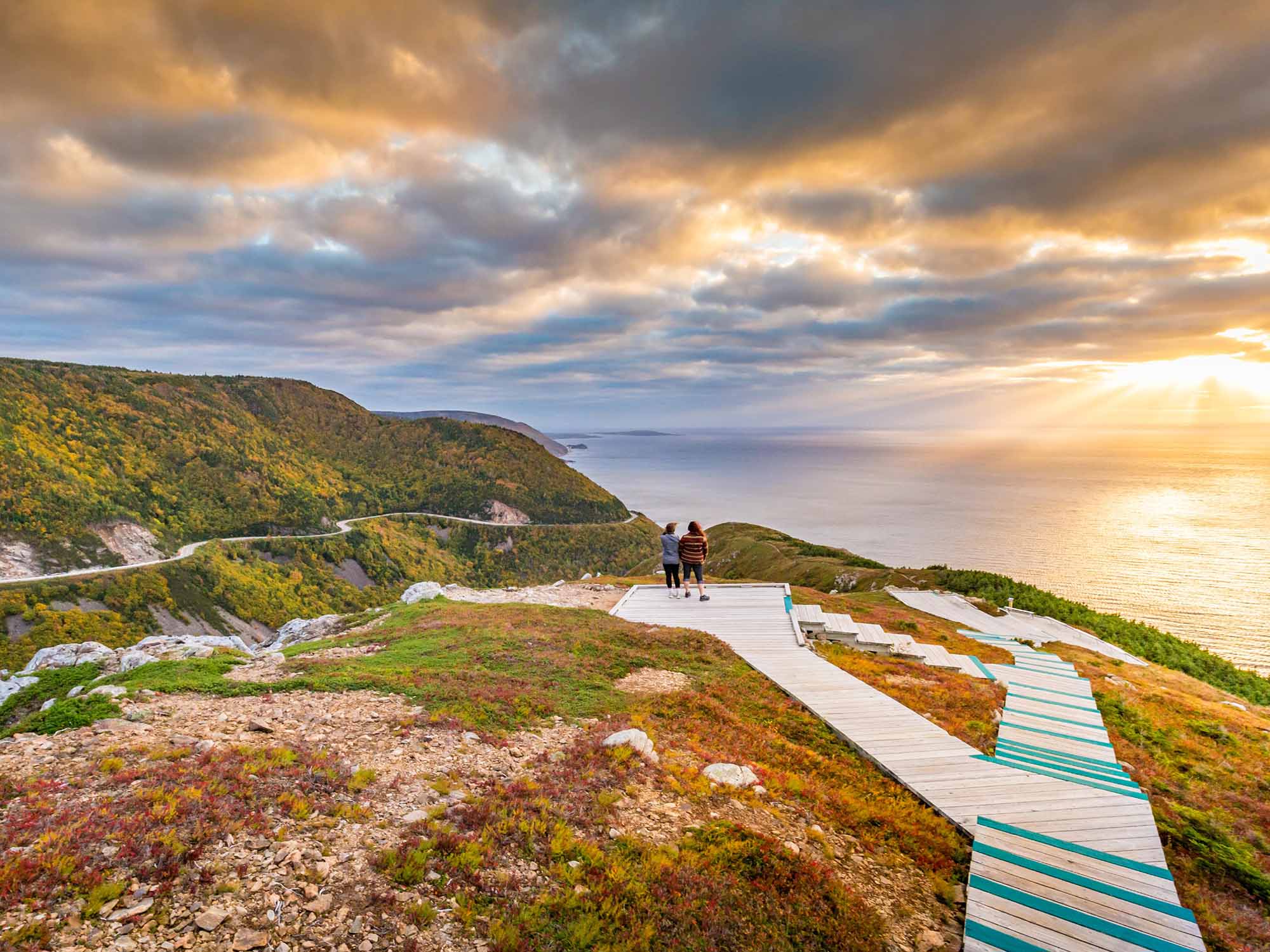
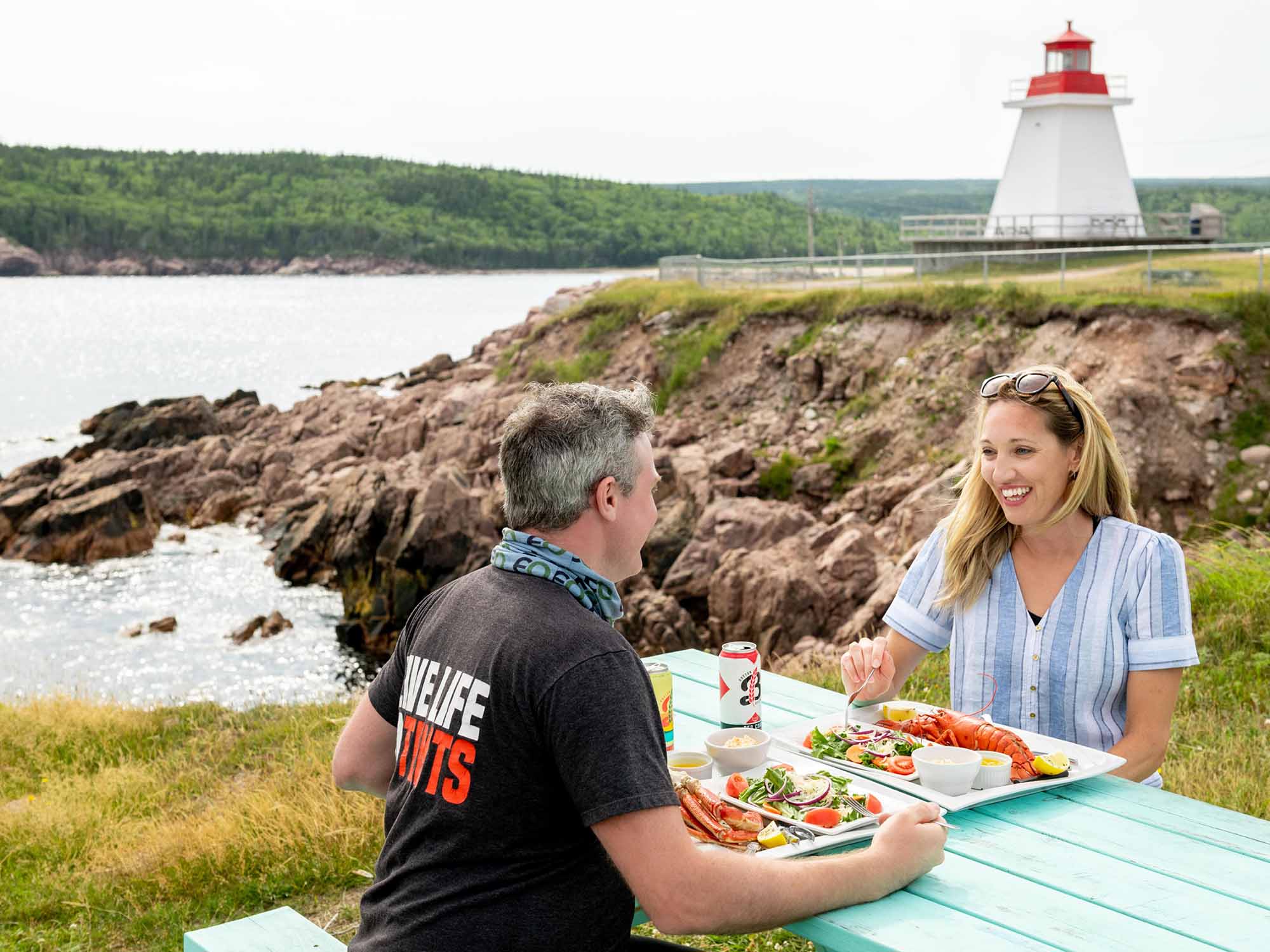
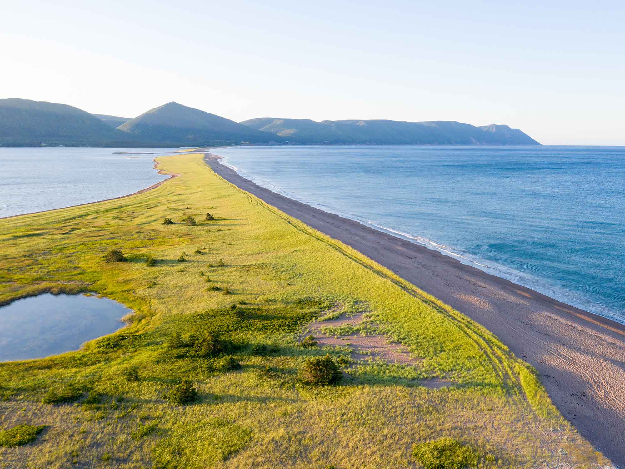
Believe us when we say there is a LOT to see and do throughout the Cabot Trail, including many “hidden gems”!
Here are some of the top recommendations from locals:


The best places to stay on Nova Scotia's Cabot Trail are Chéticamp, Ingonish, and Baddeck. For most travellers, the best approach is to stay in two...
Slow down and take your time en route to Peggy's Cove - there is so much to see!
Nova Scotia is filled with opportunities to experience vibrant cultures, rich history, and stunning natural landscapes, with sustainability top of ...

If the Skyline Trail in the Cape Breton Highlands National Park on Cape Breton Island is on your must-do list for 2026, there’s an important update...
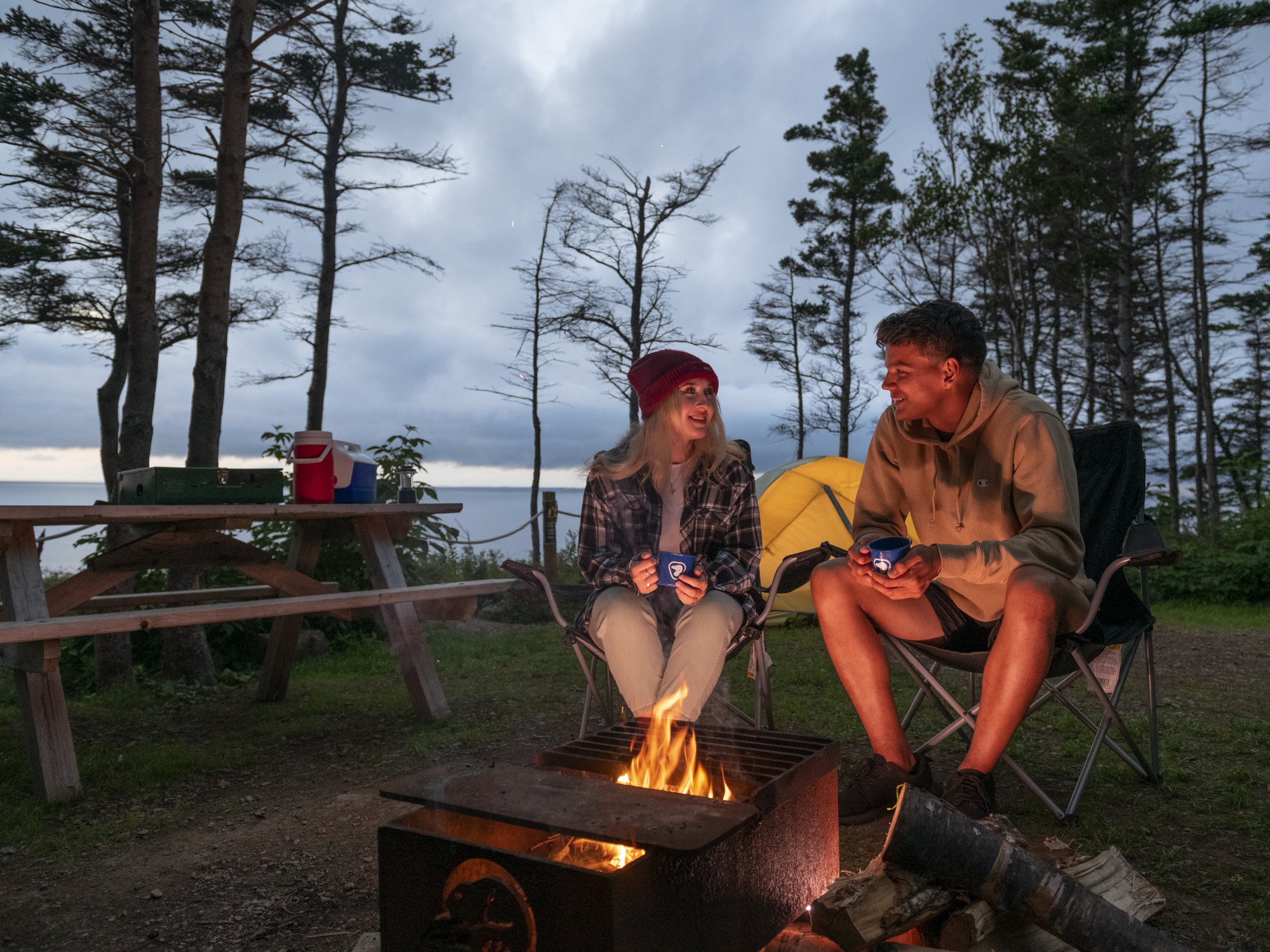
Camping in Nova Scotia just hits differently, especially when you’re right by the ocean. Think salty air, crashing waves as your soundtrack, and th...

Tag your travel photos to be featured.
